Monday 29 September 2014

Stillwater Mine Tour

We left the K-Z today and headed up to Red Lodge by way of the Beartooth Highway. This highway, first of all, is crazy. It is closed half the year because of inclement weather, since it goes up and over the 11,000ft plateau. Once again, we encountered snow. For the count, 2 out of 3 sections so far had snow.

We were fortunate enough to be able to tour the Stillwater Mine, an active platinum and palladium mine north of Red Lodge. This mine has nearly 100 miles of underground tunnels and produces 4% of the world's platinum and palladium. During World War II, the Stillwater Mine was very active in producing much of the nation's chromium for steel production. 

Now, there are ghost towns up in the mountains, giving it an eerie feel. This would definitely be the spot to film a horror movie. Somehow, though, modern technology is not totally absent from the place. Who would have thought that we would find an outlet? What luck!


Sunday 28 September 2014

Bugs

We were blessed with beautiful weather for our mapping section of this section. It was only fair that Mother Nature would pour down on us for a couple days. Today was a pretty special day for me. I had been working since November with Devon developing a stream assessment using benthic macroinvertebrates in acid mine drainage streams. In particular, we designed a lab for the Fisher Creek, which drains on the western side of Henderson Mountain.

Today was the day that all of our hard work paid off. With the exception of the weather, the sampling and identification of our "bugs" went beautifully. We wanted to see if the remediation efforts were paying off, not only in the water chemistry, but in the biology that lived there. It was rewarding for me to be able to help people understand and get excited about this type of work and its ties to what we had been doing all week.


Saturday 27 September 2014

Beartooth Hike


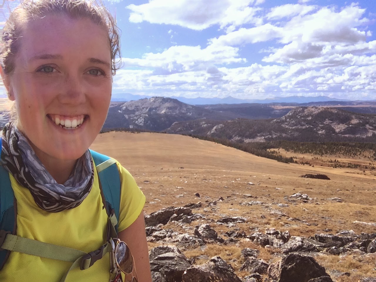
After a long week, we got a day off. One of the activities that Ed offered up was a hike across the Beartooth Plateau. This was a relatively flat 15 miles at >11,000ft. The views were spectacular. We saw lots of bear tracks, which was exciting and a bit scary at the same time. 

At lunch time, our group decided it was a good idea to eat "Toxic Waste"--candies similar to Warheads. We all did it at the same time, which meant we all were in sour pain at the same time. Poor Ed fell to the ground in anguish. The cheek cramps got him.


Friday 26 September 2014

Job 28


Where Is Wisdom?

“Surely there is a mine for silver,
    and a place for gold that they refine.
Iron is taken out of the earth,
    and copper is smelted from the ore.
Man puts an end to darkness
    and searches out to the farthest limit
    the ore in gloom and deep darkness.
He opens shafts in a valley away from where anyone lives;
    they are forgotten by travelers;
    they hang in the air, far away from mankind; they swing to and fro.
As for the earth, out of it comes bread,
    but underneath it is turned up as by fire.
Its stones are the place of sapphires,
    and it has dust of gold.

“That path no bird of prey knows,
    and the falcon's eye has not seen it.
The proud beasts have not trodden it;
    the lion has not passed over it.
“Man puts his hand to the flinty rock
    and overturns mountains by the roots.
He cuts out channels in the rocks,
    and his eye sees every precious thing.
He dams up the streams so that they do not trickle,
    and the thing that is hidden he brings out to light.

“But where shall wisdom be found?
    And where is the place of understanding?
Man does not know its worth,
    and it is not found in the land of the living.
The deep says, ‘It is not in me,’
    and the sea says, ‘It is not with me.’
It cannot be bought for gold,
    and silver cannot be weighed as its price.
It cannot be valued in the gold of Ophir,
    in precious onyx or sapphire.
Gold and glass cannot equal it,
    nor can it be exchanged for jewels of fine gold.
No mention shall be made of coral or of crystal;
    the price of wisdom is above pearls.
The topaz of Ethiopia cannot equal it,
    nor can it be valued in pure gold.

“From where, then, does wisdom come?
    And where is the place of understanding?
It is hidden from the eyes of all living
    and concealed from the birds of the air.
Abaddon and Death say,
    ‘We have heard a rumor of it with our ears.’

“God understands the way to it,
    and he knows its place.
For he looks to the ends of the earth
    and sees everything under the heavens.
When he gave to the wind its weight
    and apportioned the waters by measure,
when he made a decree for the rain
    and a way for the lightning of the thunder,
then he saw it and declared it;
    he established it, and searched it out.

And he said to man,
‘Behold, the fear of the Lord, that is wisdom,
    and to turn away from evil is understanding.’”

Thursday 25 September 2014

New World Mining District History

So our mapping of the mountain was done. Devon and Ed took us for a more historical tour of the mining in the area for the first half of the day. We got to see the remediation efforts in the area as well as the abandoned mining buildings. We explored the areas, and stuck with our motto,
"Learn Geology and Get Hot"

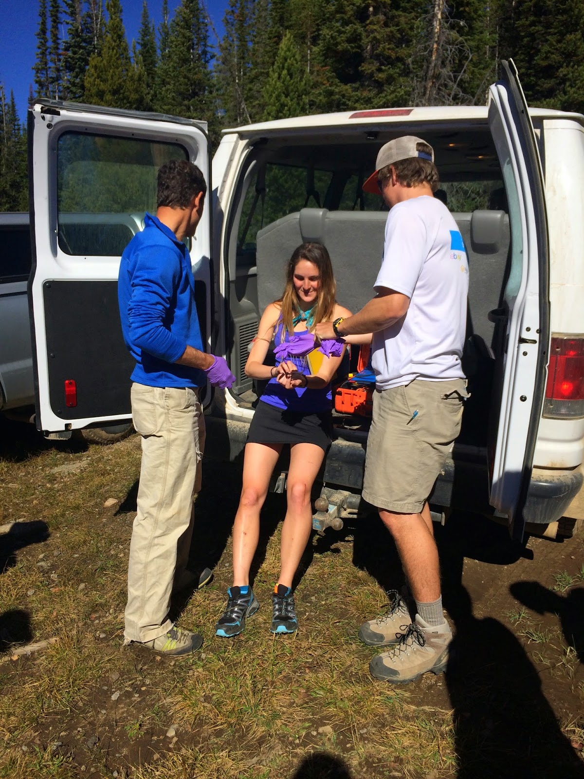
After a few pullups, I was done. I have to work on that upper body strength. We did have one casualty today. Emily had to get stitches for a cut from glass in one of the sites. 

That night, our groups presented our claims on the gold in the mountain to Devon and Ed, our investors. Ben, Katie and I decided to embody Lord of the Rings as we presented our claim. Hey, dwarves are perfect for this job.


Wednesday 24 September 2014

Mapping Henderson Mountain Day 3

Day 3 of mapping. Woo!

This morning, Maggie and I took a walk out the back of Henderson down to the Daisy Creek valley, which drains Fisher Mountain. Fisher Mountain has been a site of heavy remediation for acid mine drainage, which turns the water orange and very acidic. One of my research projects this summer dealt with the health of these types of streams using the biology. I find this absolutely fascinating.

In the afternoon, our groups went up to the ridge line of Henderson to map the top. In short, Eocene volcanics blew a cone of the mountain up, which then allowed for precious metals to be deposited throughout the mountain. These processes also pushed up giant "rafts" of sedimentary rocks, like Chimney Rock. While we were up at the top, two of the three Bens found musical inspiration from the rocks.


Tuesday 23 September 2014

Mapping Henderson Mountain Day 2

Today was Day 2 mapping Henderson. Our overall goal for this mapping project is to find the gold. 
Think Yukon Cornelius.
Henderson Mountain has the largest gold deposit in the country under it, though no one is allowed to mine it because of a deal with the Feds to protect the Yellowstone watershed. Henderson Mountain sits right out the northeast entrance to Yellowstone.

We split into groups to map different sections of the mountain. Devon took my group and another group around the backside to go see old mining adits, which were SO COOL. There was much rummaging through old mining piles for minerals and other cool finds. On the way out, we found a really interesting rock. It was a sedimentary unit with a giant block of igneous inside it. It baffled us all.


Monday 22 September 2014

Mapping Henderson Mountain Day 1

Ah, the mountains.
Today was our first day mapping the igneous units of Henderson Mountain, right outside of Cooke City, MT. At 9,000-11,000ft, we were feeling the affects of altitude as we hiked around.

Mapping here was a bit of a change from the sedimentary units that we saw in the Big Horn Basin. Igneous units are quite rebellious and go where they want to, making connecting the dots more difficult. We also got a fabulous wardrobe to wear. Since it is hunting season in Montana, we all decked out in hunter orange so we don't get mistaken for an elk or mountain goat.

We were free to hit all the rocks that we wanted with our rock hammers. Mine is named Babe, after Paul Bunyan's blue ox. After mapping all day, the guys were messing around flipping and catching their hammers. This eventually turned into throwing their hammers...a thrower geek out moment.


Sunday 21 September 2014

Driving to the K-Z

Today we left the Big Horn Basin and traveled back up to the Mountains. On the way, we saw Heart Mountain, which was the result of a 2 mile thick layer of rock that up and "floated" 20km down a 2 degree slope to where the mountain is now. Kinda hard to believe, right? Volcanoes will do wacky things.

For the next week or so, we will stay in these cozy cabins at a ranch called the K-Z (pronounced K bar Z). The morning sunrise was amazing, as for, well, everything in this part of the world.


Saturday 20 September 2014

Oil!

Today was our last field day in the Big Horn Basin. Ben Burke, an alum, brought us out to a small oil field, where we got to see a field in production. It works off of really old technology, but is able to produce enough oil to get by. After that, we hiked up to the top of an outcrop of Greybull Sands, the remnant of an ancient fluvial system. Pat brought a watermelon to the top, so we all gorged!

We are leaving the basin and heading up toward Yellowstone/southern Montana to meet up with Devon Renock, where we will transition into studies of economic geology. I will be out of email and cell service for about 8 days, so I'll check back in in a week!